07 Feb Oceaneos’ Global Chlorophyll Map
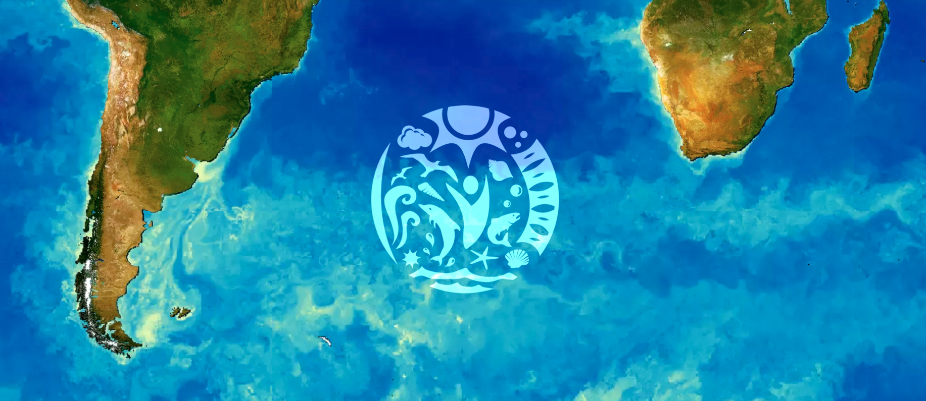
Maps tell stories. Oceaneos developed an interactive map of the world, but with a big twist: this map charts the microscopic plants that live on the surface of the ocean, and form the foundation for marine life.
They are collectively called phytoplankton, and are regard as the ‘grass of the sea’, because they are tiny plant-like organisms. They harness sunlight to provide food and nutrients to all the animals down the chain, from tiny shrimp to sharks and whales. NASA’s satellites detect the green pigment chlorophyll within phytoplankton and contrasts it against the darkness of the sea to determine its location and density. This map plots the entire globe month to month, from 2003 to 2016.
Explore the Global Chlorophyll Map
The ocean is extremely dynamic, it constantly responds to changes on land and the atmosphere. Here are some highlights of features and events only visible when looking at oceanic chlorophyll, invisible without the proper instruments and tools for analysis. Learn more
The Iron Island
In the Southern Indian Ocean, between Africa and Antarctica, there is a rugged island broken apart by centuries of glacier runoff and extreme winds. The island is the exposed rock of the Kerguelen Plateau, a lost underwater continent that sunk millions of years ago.

Every summer (December in the Southern Hemisphere) the warm weather melts the ice shevlves left by the previous winter, releasing loose rock and dust into the surrounding ocean. The interaction of iron, surface water and sunlight create a massive seasonal plankton bloom, which revives the local ecosystem around the islands.

The bloom happens consistently every December, so it’s regarded as a prime location for the study of iron fertilization. The study of the Kerguelen Island plankton bloom has provided with invaluable insight on how the ocean works, and has contributed to our deeper understanding of climate change. When summer ends and the cold weather returns, the island freezes and the nutrient runoff stops. The ecosystem becomes dormant until summer returns with more iron. Learn more
The Nordic Volcano
The year 2010 saw one of the most spectacular volcanic events in history. Though not catastrophic or explosive on itself, the eruption of the Eyjafjallajökull Volcano in southern Iceland covered the North Atlantic, Europe and parts of Africa in a dense cloud of iron-rich ash for several weeks. Here is the area (February 2010) before the event started on March of 2010.

It was its second phase – lasting from April till May of 2010 – which caused the greatest effects; with an unprecedented cloud that covered the ocean. Studies on the iron-rich dust have shown interactions with the ecosystem of the oceanic surface, which were remarkably efficient.

Research shows that the oceanic life was readily prepared for the rapid intake of iron, which prompted blooms to arise in otherwise inert areas of the ocean. These blooms, in turn, prompted localized shifts in local wildlife, given the iron allowed for plankton to harvest more sunlight energy. After the eruption faded and the ash settled, the blooms and the revitalized ecosystem returned to regular seasonal cycles. Learn more
Oceaneos has the mission to revitalize the oceans and restore fisheries through a combination of sustainable practices, marine sanctuaries and the application of Ocean Seeding in depleted areas of the ocean.


